Local News
National Weather Service issues a winter storm warning for our area
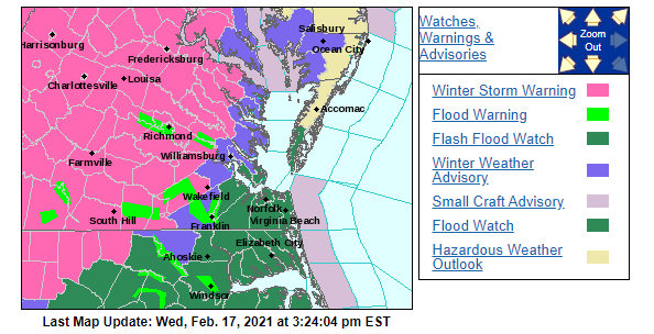 The National Weather Services has issued a winter storm warning and remains in effect from 3 am Thursday to 6 am Friday.
* WHAT…Heavy snow along with some sleet and freezing rain. Snow and sleet accumulation 4 to 8 inches. Ice accumulation from freezing rain up to one-tenth of an inch.
* WHERE…Portions of central, north-central, and northern Maryland, and northern and northwest Virginia.
* WHEN…From 3 AM Thursday to 6 AM EST Friday. Snow will overspread the area between 3 and 5 AM. The heaviest snow is expected through midday Thursday. Snow will mix with sleet and freezing rain Thursday afternoon and Thursday night.
* IMPACTS…Travel could be very difficult. The hazardous conditions could impact the morning or evening commute.
* ADDITIONAL DETAILS…Snow may be heavy at times, especially Thursday morning through midday. Snowfall rates around one to two inches per hour are possible along with visibilities around one-quarter mile.
If you must travel, keep an extra flashlight, food, and water in your vehicle in case of an emergency.
When venturing outside, watch your first few steps taken on steps, sidewalks, and driveways, which could be icy and slippery, increasing your risk of a fall and injury.